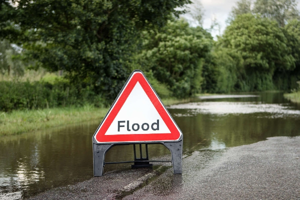
Mansfield 103.2 has received numerous calls and messages about roads and other areas that have been affected by the bad weather.
The Met office have issued an amber warning for our area which is in place until 6am on Saturday (21st October).
Some of the areas that have been or are still affected or closed by floods include:
- A617 Rainworth bypass;
- Southwell Road West, Mansfield, near the bottom of Jenny Beckets Lane;
- Carter Lane between Warsop Vale and Church Warsop;
- Robin Hood railway line between Mansfield Woodhouse and Worksop;
- Reports of Kirkby Folly Road, Sutton-in-Ashfield;
- Southerby Avenue and Farndon Road at Sutton Junction;
- Fackley Road, Teversal;
- Field Mill Pond burst its banks, meaning the bottom of Nottingham Road is closed next to Tichfield Park both ways;
- In Huthwaite, Huthwaite Lane B6026 heading west towards Blackwell, and Common Road B6027 heading south to the A38;
- New Mill Lane, Mansfield;
- Main Road, Langwith;
- Beck Lane, Mansfield;
- Brunts mini roundabout, Mansfield;
- Bentinck Hill;
- The main road in Jackdale towards Westwood and Underwood;
- Debdale Lane, Mansfield Woodhouse;
- Meden Square, Pleasley;
- The A38 outside Kings Mill Hospital, Sutton-in-Ashfield
- Next to the old pit, Clipstone;
- Water Lane, Mansfield;
- Crown Farm Way, Clipstone;
- Chesterfield Road from M1 Junction 29 towards Chesterfield;
- Wood Lane, Church Warsop;
- Derby Road, Annesley.
Flood warnings are in place for the River Maun including Bleak Hills and The Park in Mansfield, in Edwinstowe and Ollerton including the junction on A614 Mansfield Road and Ollerton Road.
River levels have also risen at the Mansfield The Dykes river gauge so flooding of property/roads and farmland near there is possible.
Areas most at risk are Edwinstowe, Ollerton, the Sherwood Forest Caravan Park and properties near Kings Clipstone.
River levels are rising at the Mansfield Pleasley Chesterfield Road North river gauge.
Flooding (of property) is expected with the areas most at risk in Chesterfield Road and Meden Square, to the east of Pleasley Bridge.
If you have any flooding information to pass on to us, fill in the form below.


 Mansfield 103.2 News -02-04-25


